The lake that changes with the seasons
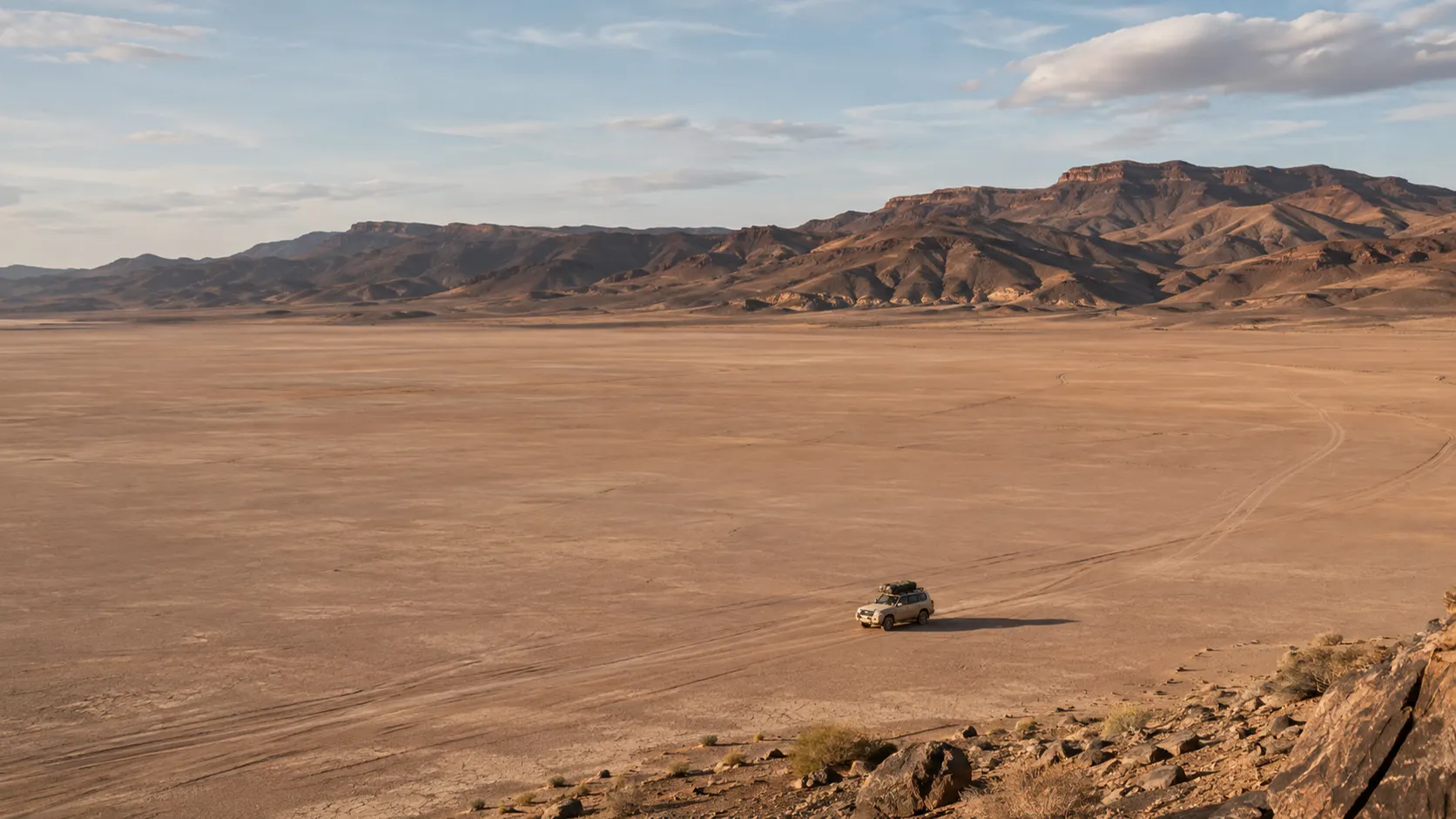
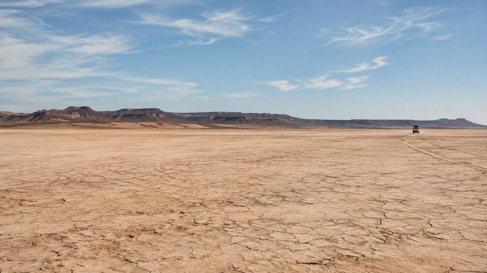
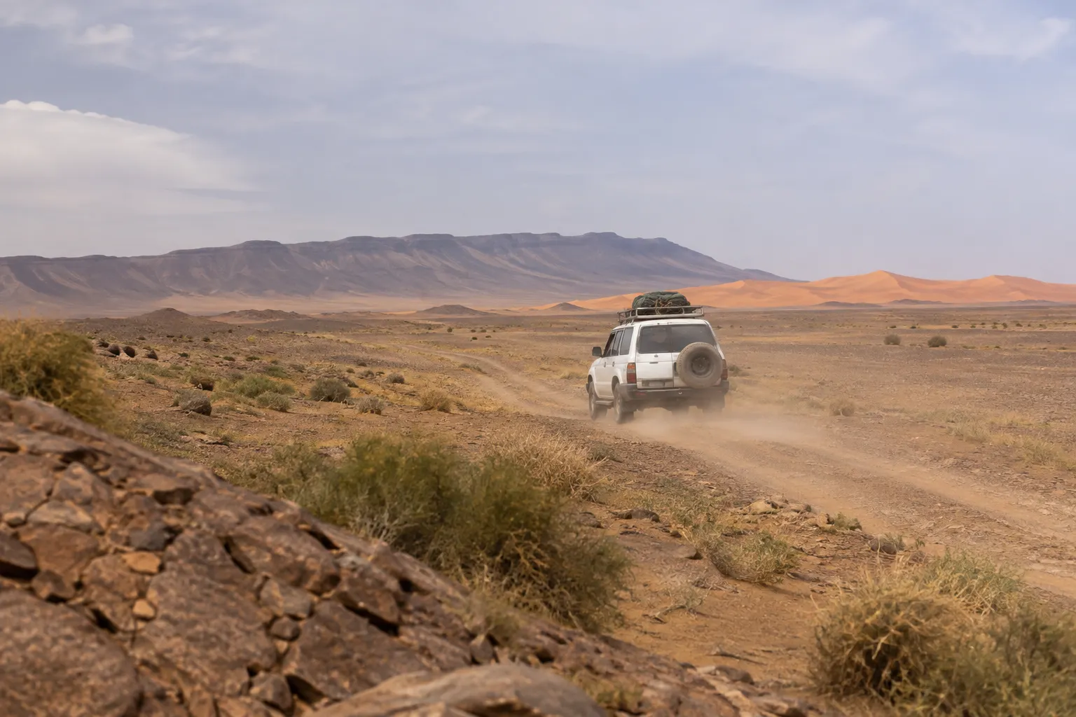
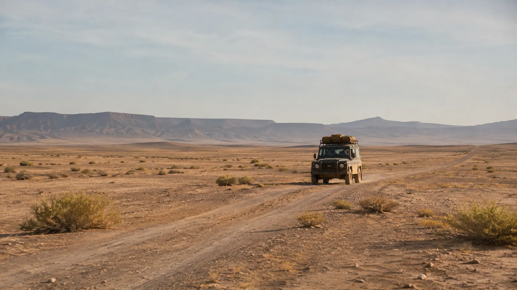
Lake Iriki is not a lake in the everyday sense. It is an ephemeral basin: a wide, level floor of fine sediment in the pre-Saharan south, which holds water only when enough of it arrives. For most of recent decades it has been dry, a pale plain so flat that the horizon seems to hover, crossed by the 4x4 tracks that run between Foum Zguid and the dunes of Erg Chigaga. Plenty of people who crossed it in those years found it hard to believe it had ever been a lake at all.
Then, in September 2024, heavy rain fell across parts of south-eastern Morocco. NASA satellite imagery from 10 September 2024 shows floodwater spread across the Iriqui basin, and press reports at the time described it as the first water there in decades.
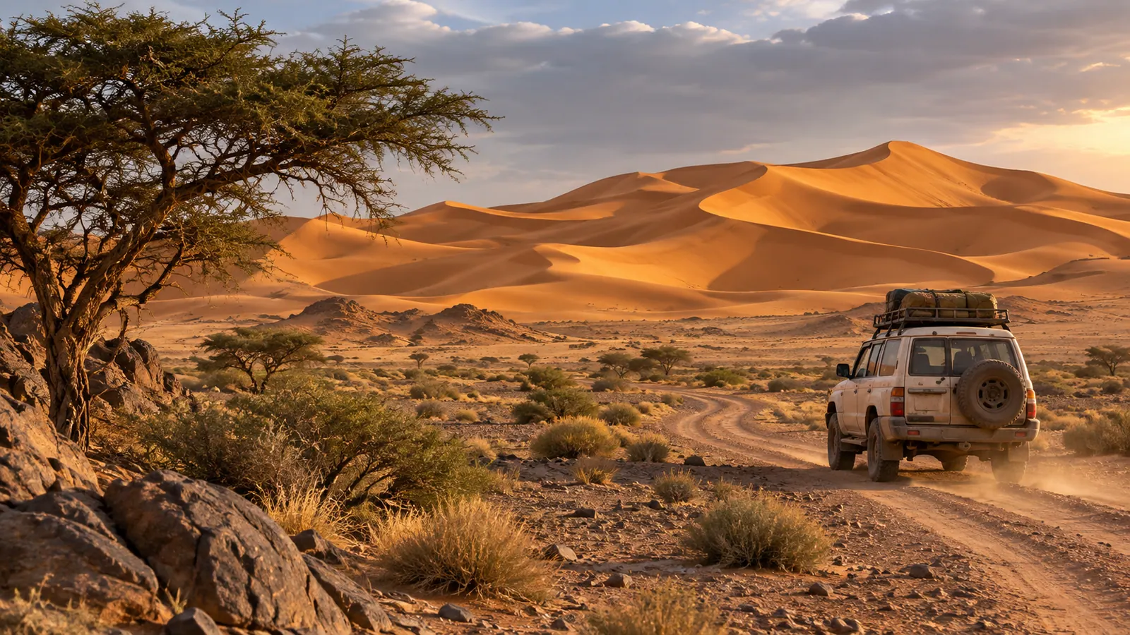
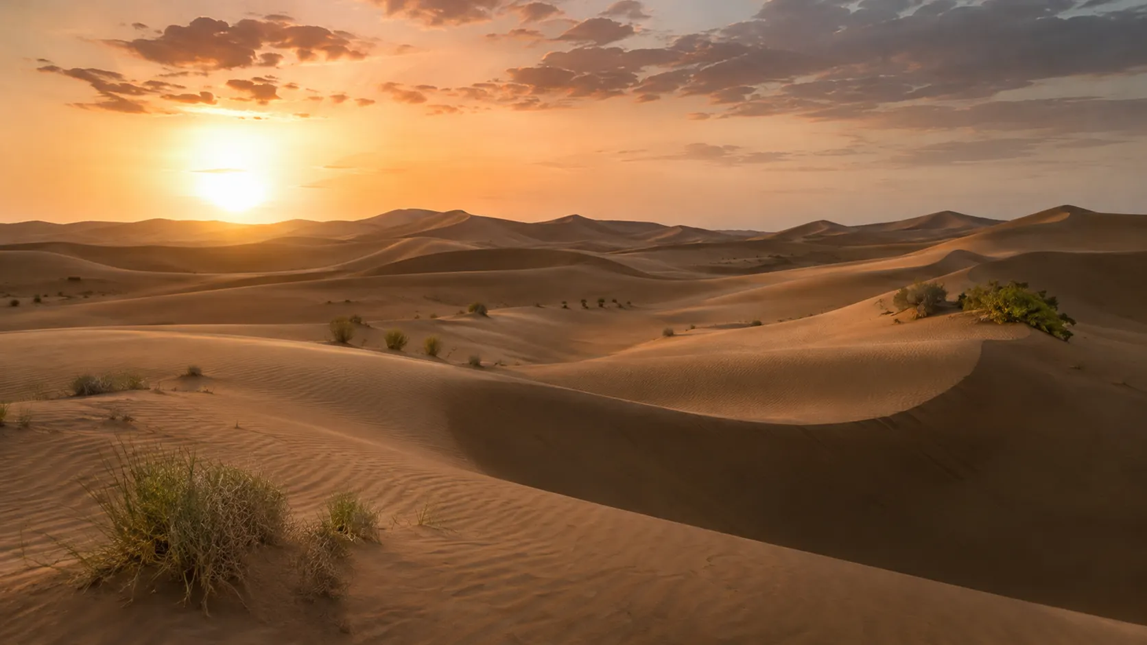
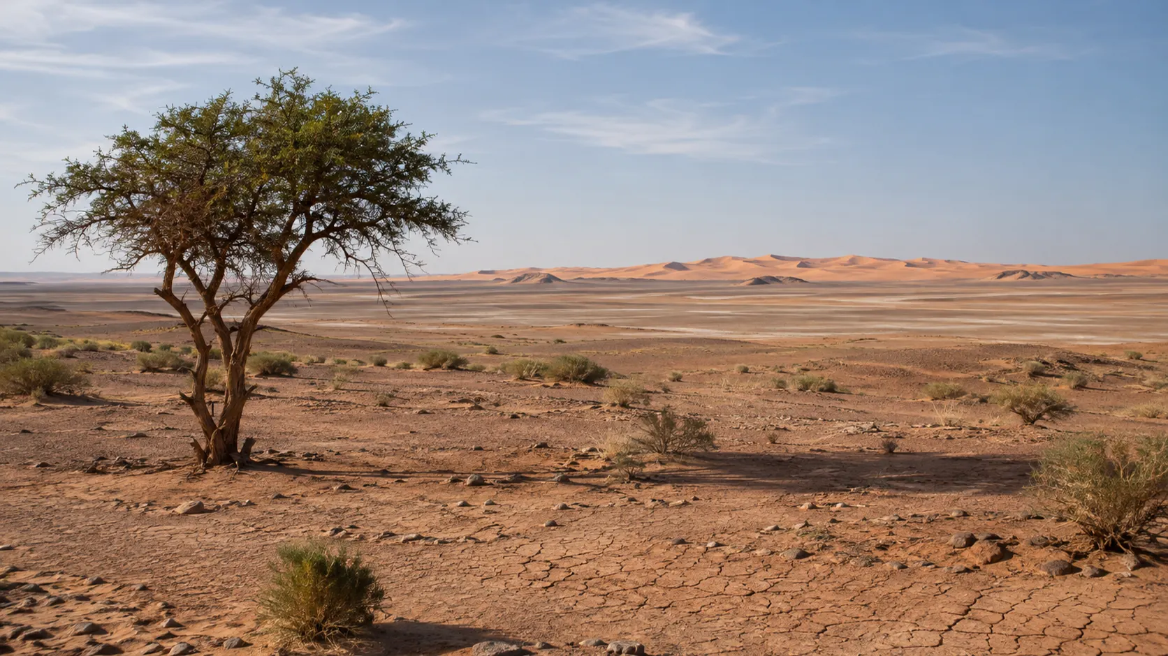
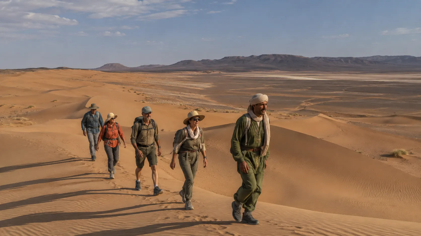
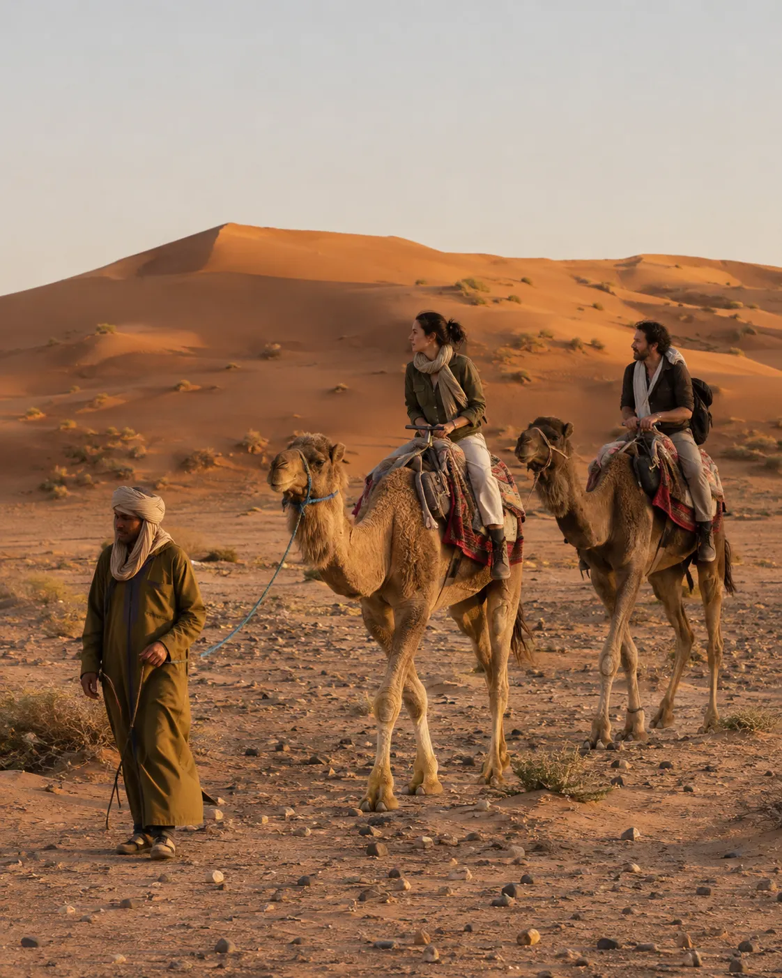
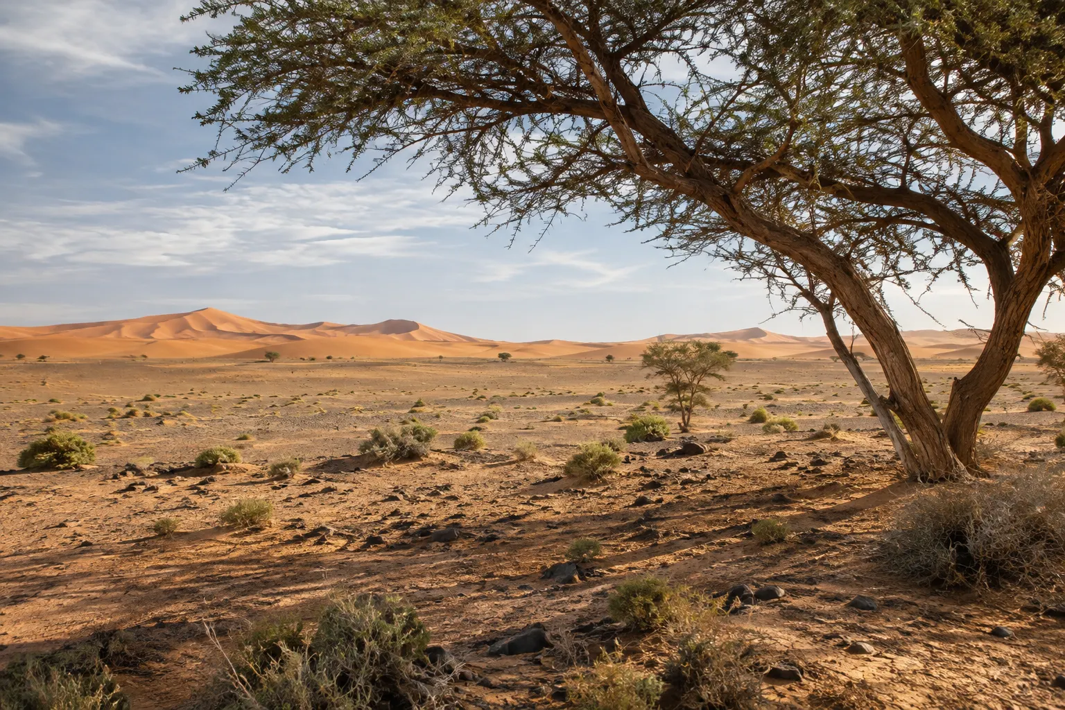
What happens after an event like that is not fixed. Water in a desert basin evaporates, sinks into the ground or lingers, depending on heat, wind and whatever rain follows. The surface can be firm, soft or muddy, and a track that was easy one season may be rerouted the next. That is the honest answer to the question we hear most often: the lake changes, and no photograph, including the illustrations on this site, can tell you what it looks like this week.
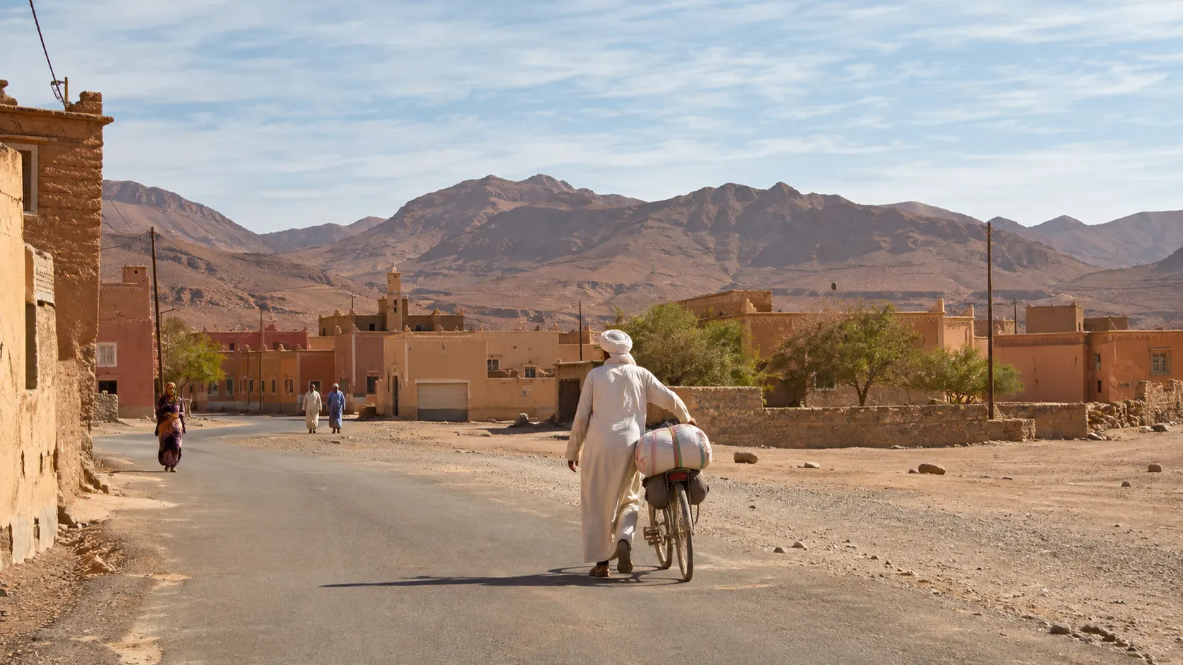
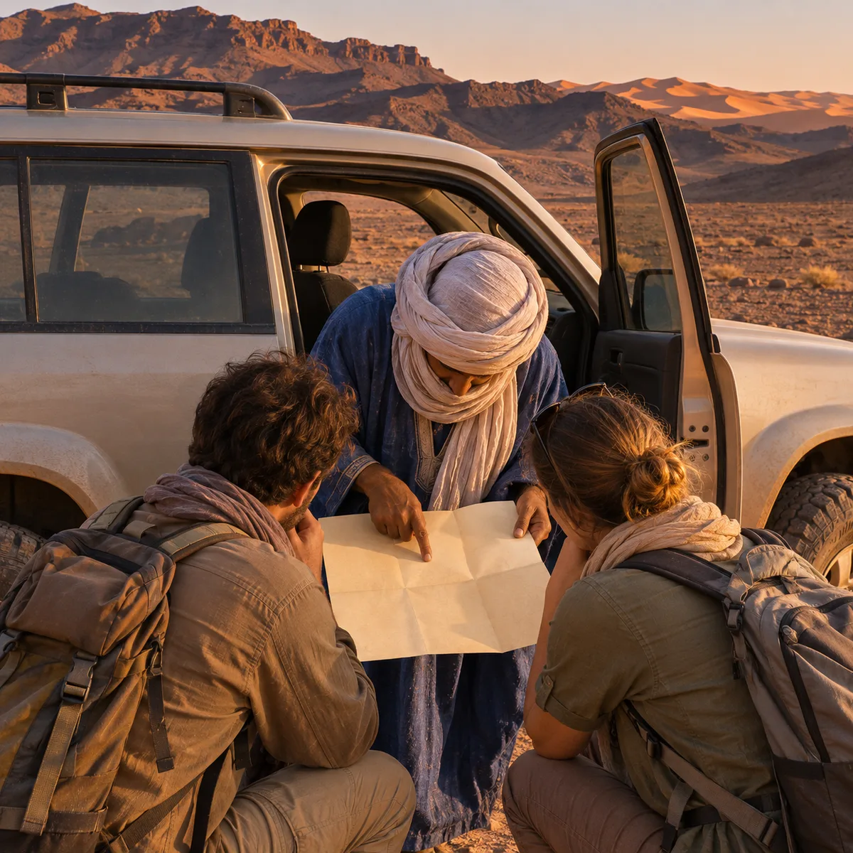
So before you travel, ask us for a current report. We are a family business based in Foum Zguid, on the western edge of the basin, and we can tell you what the ground is like when you plan to come, then adjust the route if it is wet.
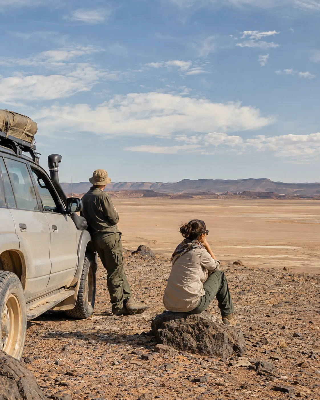
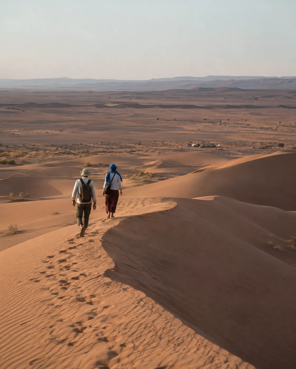
Whatever state it is in, the crossing is at the heart of what we do. A day trip by 4x4 takes you out onto the basin and into Iriqui National Park; the two-day route to Erg Chegaga crosses the Iriki basin on the way to a bivouac night in the dunes. If you want the full background first, from geography to access to the 2024 floods, start with our Lake Iriki guide. When you are ready, send us your dates and we will reply with a written quote.