At a glance
- Region
- Pre-Saharan south of Morocco, between Foum Zguid and M'Hamid
- What it is
- An ephemeral lake: a dry basin for most of recent decades
- Recent water
- Floodwater after heavy rain in September 2024 (NASA imagery, 10 September 2024)
- Water when you travel
- Changes with rainfall: ask for a recent report before you goconfirmed when you plan
- Protected area
- Iriqui National Park (created 1994)
- Nearest town (west)
- Foum Zguid, Tata province
- Access
- Desert pistes; a 4x4 with an experienced driver-guide is strongly advised
- Distance and drive time from Foum Zguid
- Confirmed with your guide when you planconfirmed when you plan
- Our tours
- Private 4x4 with a driver-guide, from Foum Zguid
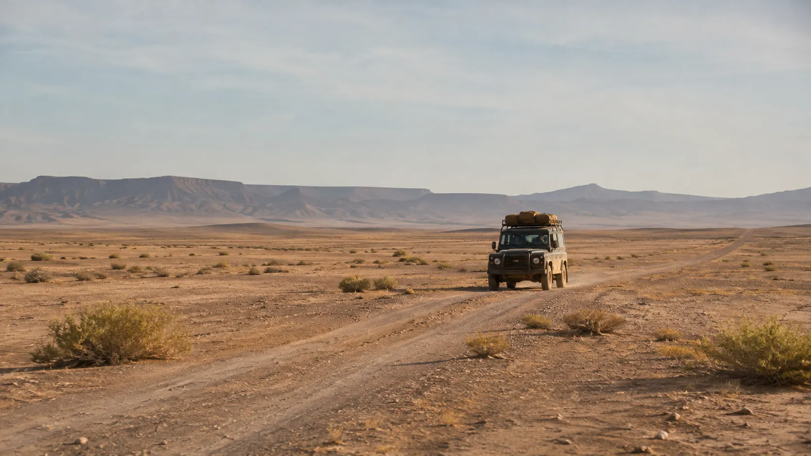
Gateway town at the Jbel Bani gap
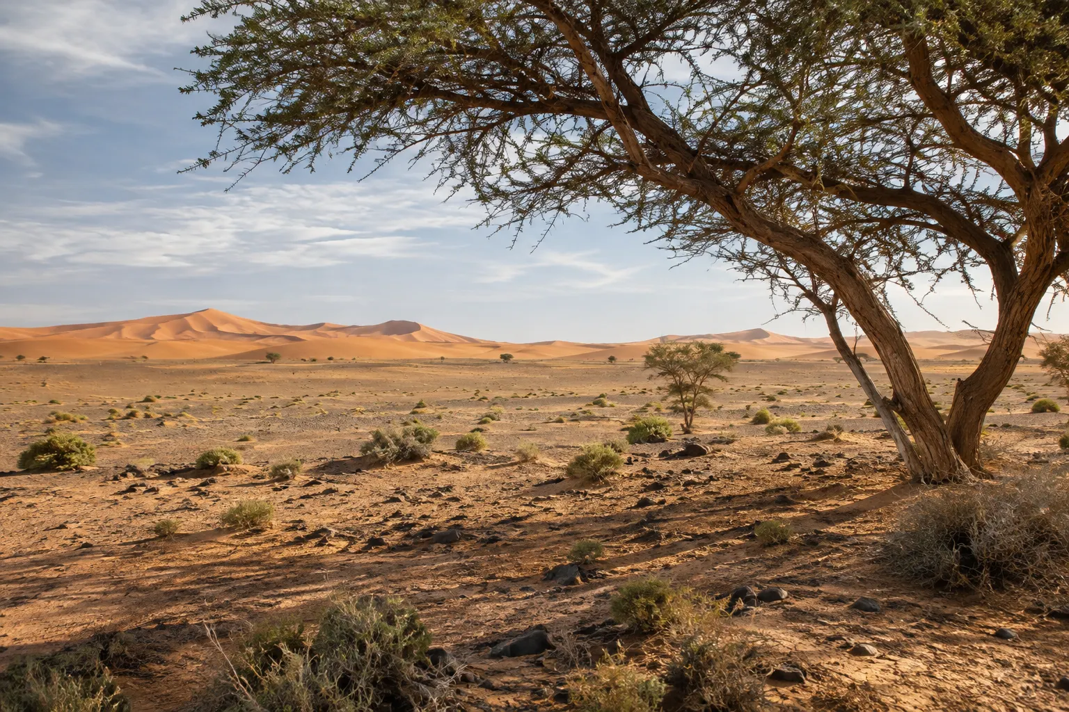
Ephemeral lake basin, Iriqui National Park
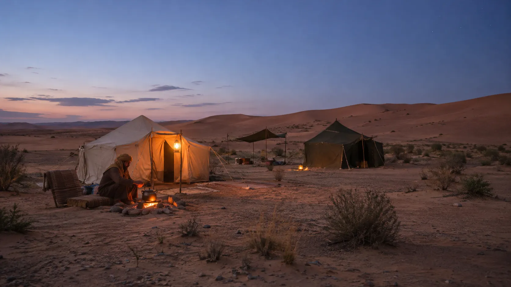
Great dune sea, bivouac nights
Lake Iriqui in a few lines
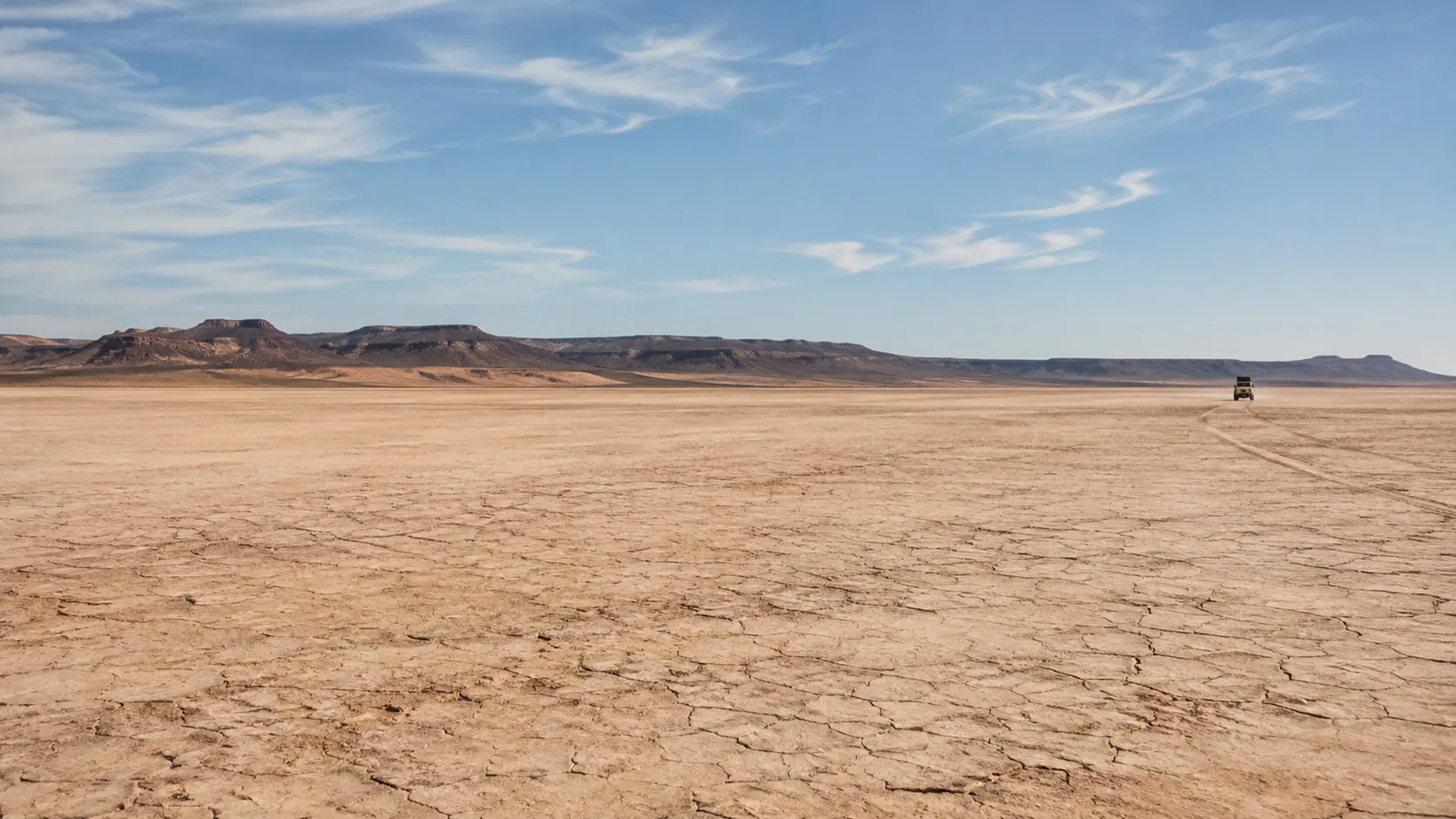
Lake Iriqui is a lake that is usually not a lake. In Morocco’s pre-Saharan south, between the town of Foum Zguid and the oasis of M’Hamid, a huge, flat basin opens out under a wide sky. For most of recent decades it has been a dry lakebed: a pale, hard plain of clay and dust where the horizon wobbles in the heat and a 4x4 can seem to float.
It is an ephemeral lake, which means water comes and goes with the rain. In September 2024, after heavy storms over this part of the Sahara, floodwater ran into the basin, and NASA satellite imagery from 10 September 2024 shows it there. Whether you find water, mud or a dry crust depends on the weather in the months before your visit, so the honest advice is simple: ask for a recent report before you travel.
The lake lies inside Iriqui National Park, and it is reached by desert tracks rather than tarmac. Most visitors come with a driver-guide from Foum Zguid, either on a day trip or as part of a longer crossing toward the dunes of Erg Chigaga.
Where it is
Picture the long, low wall of the Jbel Bani ridge running across the south of Morocco. Lake Iriqui lies beyond it, on the desert side, in a broad lowland that opens out to the south. To the east, the ground slowly gathers into sand and eventually into the high dunes of Erg Chigaga, which lie west of M’Hamid.
Foum Zguid, a small town in Tata province on the western side, is the natural gateway, and it is where our tours start. M’Hamid, at the far end of the Drâa valley road, is the other classic approach, from the east.
We do not publish a single distance or drive time from Foum Zguid to the lake. The basin is large, the tracks vary, and the right line on a given day depends on the season and the state of the piste. Your guide will confirm the route and an approximate timing when you plan. For maps, track types and what self-driving really involves, see our map and access guide.
The landscape: playa, ridge and dunes
The heart of the basin is a playa, the geographer’s word for a desert lakebed. When it is dry, the surface is flat almost to the point of disbelief. In places the clay has cracked into polygons; elsewhere it is smooth and powdery, or crusted white where salts have come to the surface as water evaporated. On a hot day, mirages pool along the horizon and distant vehicles seem to hover above shimmering “water” that is not there.
Around the edges, the lakebed gives way to stony plains, low banks of sand and patches of sparse vegetation where the park’s arid savanna begins. To the north, the dark line of the Jbel Bani closes the view. Toward the east, the first dunes rise and the sand thickens as you head for Erg Chigaga.
What visitors tend to remember is less a single view than a sense of scale. The light is sharp in the morning, flat and white at midday, and turns warm and long in the late afternoon, when every small rise throws a shadow. Sound carries a long way, and when the engine is off, there is very little to hear except wind.
When there has been rain, the scene changes completely. The same flat can become a sheet of shallow water reflecting the sky, a field of soft mud, or a patchwork of drying puddles and salt. None of these states lasts forever, which is part of the fascination of the place.
Iriki, Iriqui, d’Iriki: one lake, several spellings
You will see the name written in several ways: Iriki, Iriqui, lac d’Iriki, Lake Iriki, Lake Iriqui. They all refer to the same basin. The name is a local place name transcribed into the Latin alphabet, and different traditions settled on different spellings.
In practice, French-language travellers and maps mostly write Lac Iriki, while the protected area generally appears as Iriqui National Park, or Parc national d’Iriqui in French. On this site we use Lake Iriqui and Lac Iriki interchangeably, and we keep the park’s usual spelling, Iriqui.
A short history of a lake that comes and goes
An ephemeral lake fills only when enough water reaches it, then shrinks again through evaporation and infiltration. The Iriki basin sits in the lowlands of the lower Drâa, and floods from the Drâa system are understood to have reached it in wetter periods. For most of recent decades, though, it has been a dry basin.
Why it stayed dry for so long is a question with more than one answer. Long dry spells are part of the explanation. Upstream regulation of the Drâa is another factor that is commonly cited: the Mansour Eddahbi reservoir near Ouarzazate, completed in the early 1970s, holds back water that once flowed further downstream. Both are usually mentioned together, and the precise weight of each is not settled in what we have read, so we present the dam as one commonly cited factor rather than the whole story.
The most recent dramatic chapter came in September 2024. Heavy rain fell over the region in early September, and floodwater ran into the basin. NASA Earth Observatory published satellite imagery from 10 September 2024 showing water spread across Lake Iriqui. Press reports at the time, including Morocco World News and Al Jazeera, described it as the first water there in several decades; the figures quoted varied from report to report.
What happens after an event like that is not fixed in advance. Water in a desert basin spreads, evaporates and soaks into the ground, and how long it lasts depends on how much arrived and on the weather that follows. That is why we never describe the lake as full or as dry “today” without a dated report from the field.
When to go
The pre-Saharan south has a hot desert climate, and the season shapes everything about a visit.
Autumn to spring is generally the most comfortable period for a day on the flats or a night in the dunes. Days are usually bright and mild enough to walk around, though the sun is strong year-round.
Winter brings pleasant days but nights that can be genuinely cold, particularly in a desert camp. Pack warm layers, a hat and something cosy for the evening.
Spring often brings wind. On some days sand and dust are lifted into the air, and the horizon blurs. It can be spectacular, but it is worth bringing a scarf and glasses.
Summer heat is intense and can be dangerous in the middle of the day. If summer is your only window, plan with your guide for early starts, long shaded breaks and a lighter programme.
Rain is rare but can be heavy when it comes, as September 2024 showed. If seeing water in the basin matters to you, keep your dates flexible and ask for a recent report rather than relying on old photographs.
Seasonal changes and after rain
A dry lakebed and a wet one are very different places to drive. After rain, the clay of the playa can turn into deep, sticky mud that looks firm from a distance. Vehicles bog down easily, and getting a stuck 4x4 out of the middle of a basin is slow, hard work far from help.
Dry riverbeds (oueds) feeding the basin can carry sudden floodwater after storms, sometimes from rain that fell far away. Tracks shift, are washed out or are rerouted, and a line that worked last month may not work this week.
This is where local knowledge earns its keep. A guide who drives these pistes regularly will read the surface, choose a different line when needed, and decide when a crossing should wait. If the basin is too soft to cross, the day’s route may change. Please keep some flexibility in your expectations: the safe choice is always the right one.
4x4 access and safety
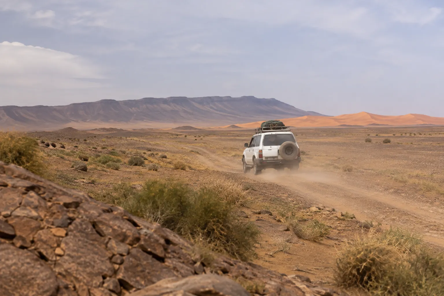
The lake is reached on desert pistes, not on a paved road. A high-clearance 4x4 is the appropriate vehicle, and an experienced driver who knows the tracks matters at least as much as the vehicle itself.
A few realities to keep in mind:
- There are no services on the way. No fuel, no shops, no water points to count on. Everything you need for the day travels with you.
- Navigation is not obvious. Tracks fan out, cross and fade. A dry lakebed has few landmarks, and mirages and dust can confuse distances.
- Mobile coverage cannot be relied on. Do not plan around being able to call for help.
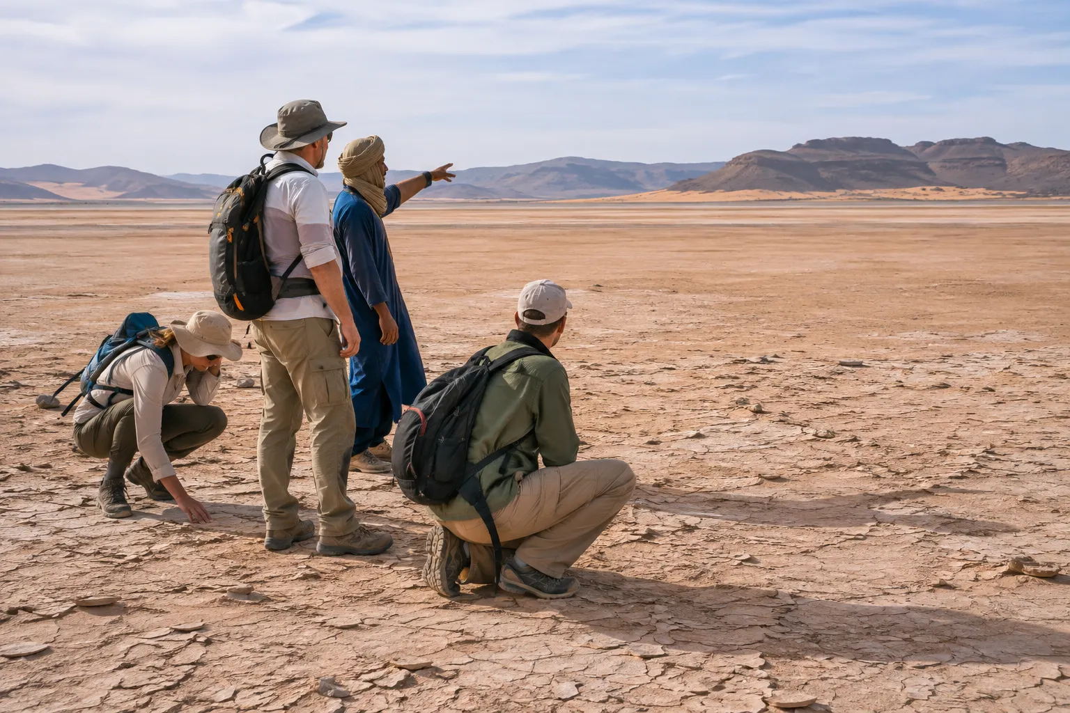
- Heat is the main hazard. Drink regularly, cover up, and rest in the shade at midday.
- Breakdowns and getting stuck are slow problems. Travelling with someone equipped and experienced turns them from emergencies into delays.
If you are considering driving yourself, read our map and access guide first. It explains the difference between the paved roads around the region and the pistes across the basin, and what a responsible self-drive would require.
Approaching from Foum Zguid
Foum Zguid is a practical base for the lake. Our family business is based in the town, and our tours run by private 4x4 with a driver-guide.
A visit usually takes one of three shapes:
- A day trip. Leave Foum Zguid in the morning, spend the day exploring the basin and its edges, and head back later in the day; the exact programme is confirmed when you book. See the Lake Iriki 4x4 day trip.
- Two days to Erg Chegaga. Our two-day route from Foum Zguid to Erg Chegaga crosses the Iriki basin and continues into the dunes for a bivouac night. See the two-day tour.
- Three days, at a slower pace. More time for stops, walks on the dunes and a second night out. See the three-day tour.
For how the crossing from Foum Zguid to the dunes unfolds, stage by stage, read our route guide from Foum Zguid to Lake Iriki and Erg Chigaga. Exact timings, stops and what is included are confirmed in your written quote.
Maps, tours and nights in the desert
If you are planning a trip around the lake, these pages go deeper:
- Map and access guide: how the basin connects to Foum Zguid, M’Hamid and the dunes, and what the tracks are like.
- Iriqui National Park: what the park protects and how to visit it with care.
- Desert camp and bivouac nights: what a night in the dunes is like. Our bivouac nights are in the dunes of Erg Chegaga.
- Erg Chigaga: the great dune field east of the basin.
- Plan my trip: tell us your dates and group, and we will suggest a route.
Travelling responsibly
The lake and its surroundings are a protected area, and a fragile one. A few habits make a real difference:
- Stay on existing tracks. Tyre marks on a lakebed and on desert crust can last for a long time. Following the tracks already there keeps the scarring in one place.
- Take everything away with you. That includes food scraps, tissues and cigarette ends. Nothing breaks down quickly here.
- Leave stones, fossils and plants where they are. Collecting from a national park is not a souvenir; it removes something for good.
- Give wildlife space. If you are lucky enough to see animals or birds, watch from a distance, keep your voice down and never chase them for a photograph. Sightings are never guaranteed.
- Ask before photographing people. If you meet local residents or herders, a greeting comes first and the camera second.
- Respect water. In the desert, water is precious. Use it carefully, at camp and on the road.
What to bring for a day on the flats
- A wide-brimmed hat or a scarf you can wrap around your head and face (a chèche is ideal).
- Sunglasses and high-protection sunscreen, even in winter.
- Light, covering clothes for the day and a warm layer for the evening.
- Closed shoes that you do not mind getting dusty, or muddy after rain.
- A refillable water bottle. Ask your guide what water and food are provided on the day.
- A bag or cover to protect your camera and phone from fine dust.
- For an overnight trip, a head torch and anything you need to sleep well in a cool night.
Lake Iriqui rewards patience more than a checklist. Give it a whole day, let your guide choose the light, and switch the engine off at least once in the middle of the basin. That silence is what most people take home.
Questions travellers ask
Is it Lake Iriki or Lake Iriqui?
Both, and it is the same place. The name is a local place name written in the Latin alphabet in more than one way. French-language maps and travellers mostly write Lac Iriki (or lac d'Iriki), while the protected area usually appears as Iriqui National Park. You will also see Iriki and Iriqui mixed freely in English. Search for either and you will land on the same basin.
Is there water in Lake Iriqui now?
It depends on recent rain, and it can change from one season to the next. Lake Iriqui is an ephemeral lake that has been a dry basin for most of recent decades. Heavy rain in September 2024 sent floodwater into it, and NASA satellite imagery from 10 September 2024 shows water in the basin. Because conditions change, ask your guide or us for a recent report before you travel, and treat any photo you find online as a snapshot of one moment.
Can I visit Lake Iriki without a 4x4?
The basin is reached on unpaved desert tracks, not on a tarmac road, so a high-clearance 4x4 driven by someone who knows the pistes is the sensible way to go. Track conditions shift with wind and rain, there are no services on the way and mobile coverage cannot be relied on. Our map and access guide explains the options and the risks in more detail.
When is the best season to visit?
The cooler months, roughly from autumn through spring, are generally the most comfortable for a day on the open flats or a night in the dunes. Summer heat in the pre-Saharan south is intense and can be dangerous in the middle of the day. Winter days are usually pleasant, but nights can be cold, so pack warm layers. Spring can bring wind and blowing sand. Your guide will help you choose dates and adjust the day to the weather.
Is Lake Iriqui in a national park?
Yes. The lakebed lies within Iriqui National Park, created in 1994 and covering about 123,000 hectares according to published sources. The park was set up to protect arid savanna, dunes, salt flats and the temporary wetland of the lake. Stay on existing tracks, take all rubbish away with you and leave stones, fossils and plants where they are.
How far is the lake from Foum Zguid, and how long does it take?
The answer depends on which track your guide takes, the season and where on the basin you want to stop, so we prefer not to quote a single figure. Your guide will confirm the route and an approximate timing when you plan the trip. A visit fits comfortably into a day trip from Foum Zguid, and the lake is also crossed on our multi-day routes toward Erg Chegaga.
Can I combine Lake Iriki with Erg Chigaga?
Yes. Our two-day route from Foum Zguid to Erg Chegaga crosses the Iriki basin, and our overnight tours include a bivouac night in the Chegaga dunes. If you have more time, a three-day trip leaves room for a slower pace and more stops. See the route guide and tour pages for how the days are usually organised.
Sources
Facts on this page were checked against the sources below. Conditions in the desert change — ask us for a current report before you travel.
- A Deluge for the Sahara — NASA Earth Observatory, consulted 11 November 2026
- In half a century: rare Saharan floods fill dry lake beds in Morocco — Morocco World News, consulted 11 November 2026
- A rare rain in the Sahara desert (photo gallery) — Al Jazeera, consulted 11 November 2026
- Iriqui National Park — Wikipedia, consulted 11 November 2026
- Iriqui National Park — Lonely Planet, consulted 11 November 2026
- Barrage Al Mansour Ad Dhabi (Important Bird Area factsheet) — BirdLife International Data Zone, consulted 11 November 2026
- Reportage : le long de l'oued Drâa, deux barrages et une vallée à sec — TelQuel, consulted 11 November 2026
First published ·Last updated