At a glance
- Starting point
- Foum Zguid, Tata province
- Protected area
- Iriqui National Park (created 1994)
- Terrain
- Paved road, gravel pistes, dry lakebed, dunes
- Vehicle
- 4x4 strongly advised once you leave the tarmac
- Distances and driving times
- Confirmed by your guide for the season and the state of the pistesconfirmed when you plan
- GPS tracks
- Not published until field-verifiedconfirmed when you plan
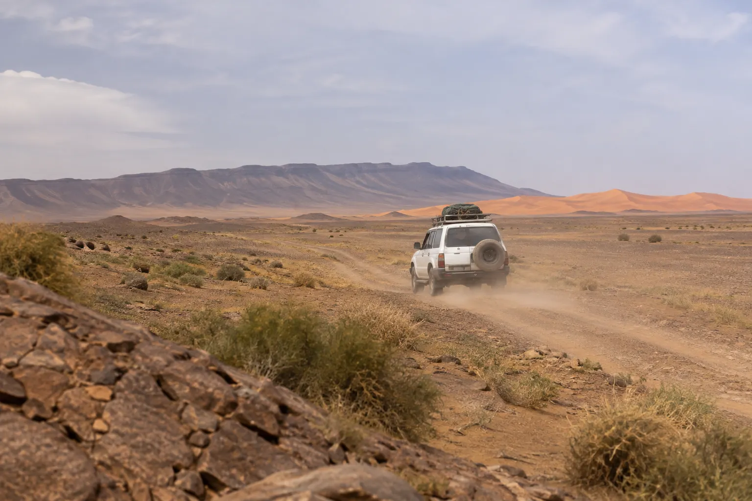
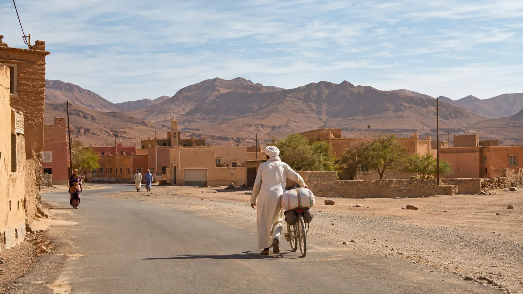
Gateway town at the Jbel Bani gap
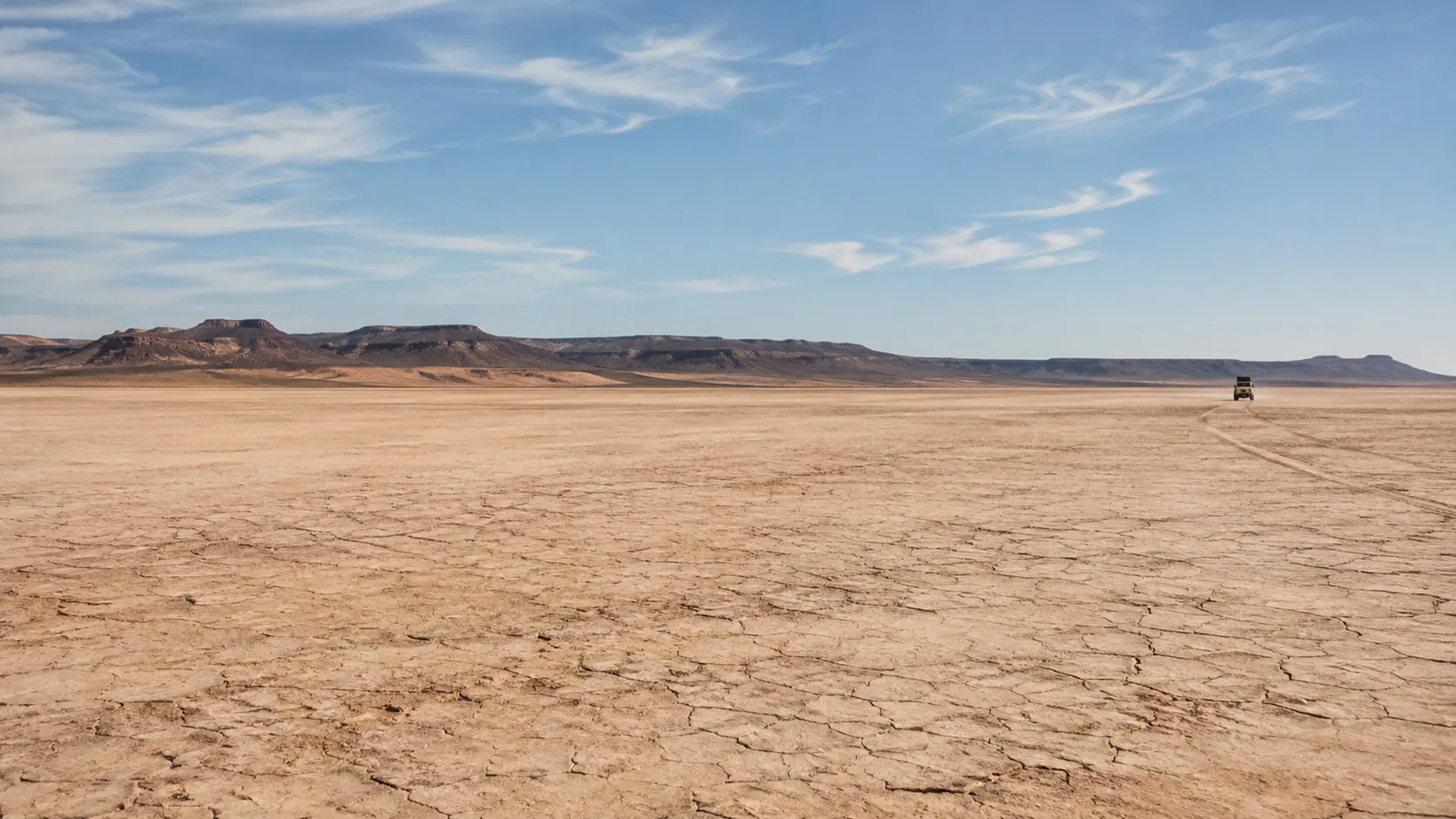
Ephemeral lake basin, Iriqui National Park
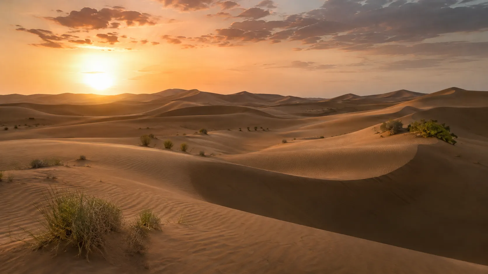
Great dune sea, bivouac nights
Where Lake Iriki is and how you get there
Lake Iriki occupies a huge depression in Morocco’s pre-Saharan south, east of Foum Zguid, on the desert line that runs towards Erg Chigaga and, beyond it, M’Hamid. It is an ephemeral lake: for most of recent decades it has been a dry basin, a plain of clay and salt fringed by arid savanna. In September 2024 heavy rain sent water into the basin, and NASA satellite imagery from 10 September shows it there. Conditions change from year to year, so always ask for a recent report before you travel.
The natural gateway is Foum Zguid, a small town in Tata province. Coming from Tata, the provincial capital, or from the Ouarzazate side, you reach Foum Zguid on paved road. That is where the tarmac ends for good and the pistes begin. The basin lies within Iriqui National Park, created in 1994, which protects a mosaic of arid savanna, dunes, salt flats and the temporary wetland of the lake itself.
There is no single Lake Iriki road. There are several tracks that cross, split and merge again, and local drivers choose between them depending on the season, the last rain and the state of the ground. Keep that in mind before you look at any map.
How to read the route diagram
At the top of this page we show a hand-drawn route diagram: Foum Zguid in the west, the Lake Iriki basin in the middle, Erg Chigaga in the east. It is schematic and deliberately not to scale. It is there to help you understand how the landscapes follow one another, not to navigate by.
The legend shows four kinds of surface:
- Paved road: the approach as far as Foum Zguid. Beyond it, you leave the tarmac.
- Gravel piste: the network of dirt and stone tracks that leaves Foum Zguid, passes through the Jbel Bani gap and runs along the basin.
- Dry lakebed: the great flat plain of Lake Iriki. Most of the time it is a hard clay crust; after rain it can turn soft, or even hold water.
- Dunes: the sand of Erg Chigaga, where vehicles slow right down and where most travellers spend the night in a bivouac camp.
The diagram does not show every variant of the piste, wells or supply points, and it gives no distances. Those depend on the moment: your guide tells you which route you will take and how much time to allow when you plan the trip.
Terrain types, from Foum Zguid to the dunes
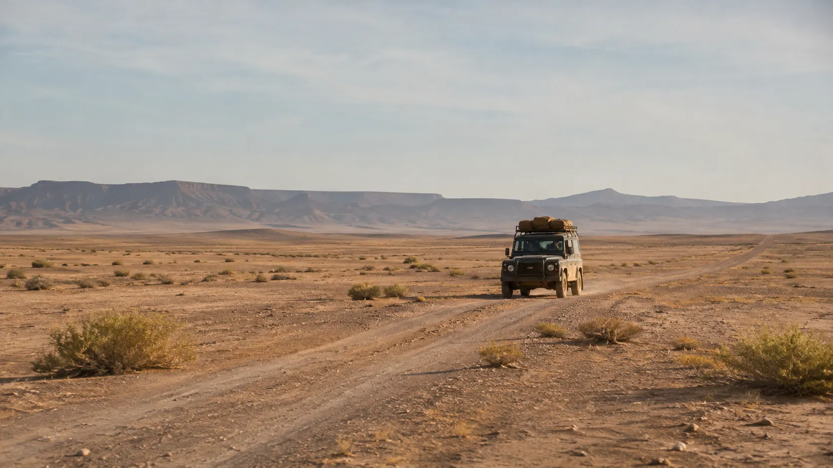
Gravel and corrugations. Leaving Foum Zguid, the pistes alternate between stones, packed earth and long stretches of corrugation, the regular ridges that shake the whole vehicle. Speeds stay moderate, and this is where tyres take the most punishment.
Wadis. The route cuts across dry riverbeds, some sandy, some with stepped banks. They look harmless in dry weather; they are also the first places to fill when it rains upstream.
The lake basin. In the centre, the horizon opens up. The surface is flat, often cracked, and the glare produces mirages that flatten every sense of distance. Tracks fan out in all directions, and with no relief to steer by it is easy to drift onto the wrong one.
Sand and dunes. Approaching Erg Chigaga, the sand gets deeper and softer. You need to know how to lower tyre pressures, keep momentum and read the hollows. Without experience, getting stuck is close to certain.
Can you do Lake Iriki without a 4x4?
This is one of the questions we hear most. The honest answer: it isn’t advisable. In dry weather an ordinary car can manage some gravel sections. But low ground clearance, two-wheel drive and road tyres make sand, wadis and clay patches risky, and a breakdown or a bogged car usually happens a long way from anyone passing.
Another point people forget: many rental agreements exclude off-road driving, which can leave you uninsured if something goes wrong. Read the terms before you set off.
If you don’t have a 4x4, or aren’t used to pistes, the simplest option is to leave the car in Foum Zguid and go with a driver-guide. Our Lake Iriki 4x4 day trip leaves from Foum Zguid by private 4x4.
GPS tracks: what circulates online and why we don’t publish ours
Search for a Lake Iriki GPS track and you will find files shared by travellers, rally fans and overlanding sites. Some are useful. But a track recorded a few years ago says nothing about the ground today: a wadi may have cut deeper, a stretch may have silted up with sand, a patch of clay may still be waterlogged.
We don’t publish coordinates or tracks until our own records have been checked in the field. If you use a track you found online:
- cross-check it against a recent offline map and, ideally, a paper map;
- never follow it blindly, especially if it leads you onto wet ground or sand you can’t handle;
- ask in Foum Zguid about current conditions on the pistes;
- remember that a GPS shows a direction, not whether the ground will carry you.
Self-drive or guided?
Self-driving is possible for experienced drivers who are well equipped and, ideally, travelling with a second vehicle. Be clear about what it involves, though: navigation without waymarks, sand, no services along the way, phone coverage that can be patchy or absent, and strong heat for much of the year.
A local driver-guide brings what no map can:
- knowledge of which tracks are passable in a given season and after a given rain;
- reading the sand, managing tyre pressures and handling the tricky passages;
- recovery gear, and the habit of using it;
- contact with local people and other drivers, who pass on word of a flooded wadi or a stretch to avoid;
- the rhythm of the day: breaks in the shade, photo stops, arriving at camp before dark.
Our tours run by private 4x4 with a driver-guide, starting from Foum Zguid. For the full crossing to the dunes, see our guide to the Foum Zguid, Lake Iriki and Erg Chigaga route.
After rain: floods, soft ground and closed pistes
Rain is rare here, but when it comes it transforms the terrain. Wadis can carry fast, muddy water, sometimes hours after the storm if it fell further upstream. The basin floor, which carries a vehicle easily when dry, becomes sticky clay that can swallow wheels to the axles. The heavy rain of September 2024, which sent water into the basin, is a reminder that this is not a theoretical scenario.
A few simple rules:
- never cross a wadi in flood, however shallow it looks;
- keep off the lakebed as soon as it looks damp, dark or shiny;
- if a piste is closed or locals advise against going on, don’t push it; local authorities may restrict access;
- build slack into your plans: waiting a day beats being stranded.
Before setting off, ask for a recent report on conditions, from your guide or from people in Foum Zguid.
Cycling to Lake Iriki
The basin also draws cyclists on mountain bikes and touring bikes. It is feasible for experienced riders, but go in with your eyes open: complete isolation over long stretches, sand where you will push the bike, exhausting corrugations, heat and wind, and no reliable water along the way. Winter is the most sensible season. A support vehicle carrying water, food and repair kit is strongly advised; failing that, don’t ride alone, and leave a precise plan with someone. If the idea appeals, write to us to talk it through: any 4x4 support is discussed case by case.
Checklist for self-drivers
If you are taking your own vehicle, this is the minimum:
- Tyres: at least one spare, ideally two, a puncture repair kit, a pressure gauge and a compressor to reinflate after the sand.
- Recovery gear: shovel, sand ladders, a tow strap with suitable shackles.
- Water: far more than you think you will drink, plus a reserve for the vehicle.
- Fuel: fill the tank and your jerrycans before you leave the tarmac, and ask locally where the last fuel stop is.
- Navigation: downloaded offline maps, a paper map, a compass, a power bank.
- Communication: a satellite messenger or phone if you travel alone.
- Tell someone: leave your route and expected arrival with someone who will act if you don’t check in.
- Health and sun: first-aid kit, hat, sunglasses, sunscreen, covering clothes.
- Ideally: a second vehicle. Alone, a minor problem can quickly become a serious one.
Respecting Iriqui National Park
The basin and its surroundings are a protected area. Stay on existing tracks rather than cutting new ones, keep off vegetation, don’t collect stones, fossils or wood, and take all your rubbish out with you. Ask whether any park formalities currently apply. To learn more about the lake itself, read our Lake Iriki guide and our page on Iriqui National Park. To plan your departure, see our pages on Foum Zguid and Erg Chigaga.
Questions travellers ask
Is there a reliable map of Lake Iriki?
Online maps and offline apps show the basin and some of the tracks, but the network of pistes shifts from season to season. The diagram on this page explains the sequence Foum Zguid, Iriki basin, Erg Chigaga. It is not to scale and does not replace a navigation map or a guide.
Can you visit Lake Iriki without a 4x4?
We don't recommend it. Beyond the tarmac you drive on gravel, corrugations, sandy patches and a clay crust that can give way after rain. An ordinary car risks getting stuck or damaged, often far from help. Check your rental agreement too: off-road driving is often excluded.
Where can I find a GPS track for the Lake Iriki piste?
Tracks circulate on travel forums and overlanding sites. We don't publish any until our own records have been verified in the field. If you use one, treat it as one clue among several, never as a line to follow blindly.
Is there phone signal on the piste?
Coverage can be patchy or absent along much of the way. Download offline maps, leave your plan with someone and, if you travel alone, consider a satellite messenger.
What should I do if I find water or mud on the track?
Don't drive in. The basin floor and the wadis turn soft after rain, and a puddle can hide clay that swallows a vehicle. Turn back, wait or ask locally, and respect any access restrictions.
Can you cycle to Lake Iriki?
Experienced cyclists do, but it is a demanding project: remoteness, sand, heat and no water points. A support vehicle is strongly advised, and winter is the most sensible season.
How long does it take to drive from Foum Zguid to Lake Iriki?
It depends on the piste, its condition and how often you stop. Your guide gives you a realistic estimate for the season when you plan the trip.
Sources
Facts on this page were checked against the sources below. Conditions in the desert change — ask us for a current report before you travel.
- Iriqui National Park — Wikipedia, consulted 11 November 2026
- Iriqui National Park — Lonely Planet, consulted 11 November 2026
- A Deluge for the Sahara — NASA Earth Observatory, consulted 11 November 2026
- In half a century: rare Saharan floods fill dry lake beds in Morocco — Morocco World News, consulted 11 November 2026
First published ·Last updated