At a glance
- Created
- 1994
- Area
- About 123,000 hectares (roughly 1,230 km²)
- What it protects
- Arid savanna, dunes, salt flats and the temporary wetland of Lake Iriqui
- Region
- Pre-Saharan south of Morocco, between Foum Zguid and M'Hamid
- Getting around
- Desert pistes; 4x4 with an experienced driver-guide
- Entry formalities
- Confirmed with your guide before you travelconfirmed when you plan
- Wildlife
- Sightings are never guaranteed
What Iriqui National Park is
Iriqui National Park is a protected area in Morocco’s pre-Saharan south, in the broad desert between the town of Foum Zguid and the oasis of M’Hamid. It was created in 1994 and, according to published sources, covers about 123,000 hectares.
The park was set up to protect a set of arid landscapes that are easy to damage and slow to recover: arid savanna, dunes, salt flats, and the temporary wetland of Lake Iriqui, the vast lakebed at its centre. That last point is the key to the place. Most of the time the lake is a dry basin, but when rain is heavy enough it can take in water, as it did in September 2024. A park that protects a wetland which is usually dry is an unusual idea, and a very desert one.
For visitors, it is a landscape to cross slowly, by 4x4 with a local guide, rather than a park of signposted trails.
Iriqui, Iriki: the same park
The spelling varies. In English the park is usually called Iriqui National Park; in French, Parc national d’Iriqui. The lake inside it is often written Lac Iriki or lac d’Iriki, especially in French. You will also see Iriki National Park now and then. These are transcriptions of the same local place name, and they all lead to the same stretch of desert.
On this site we keep Iriqui for the park and use Iriki and Iriqui interchangeably for the lake. Our Lake Iriqui guide covers the lake itself in detail.
Landscapes of the park
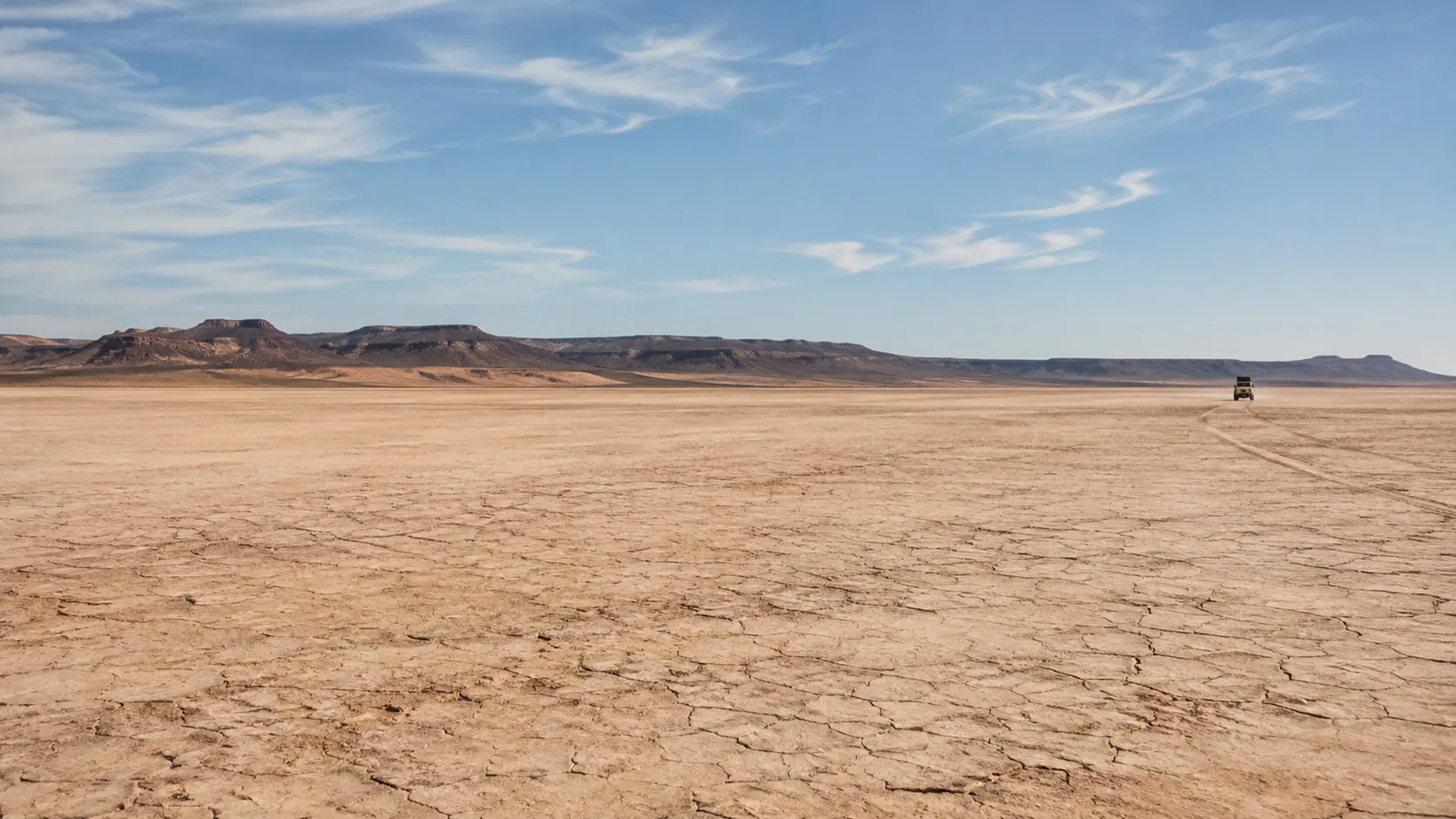
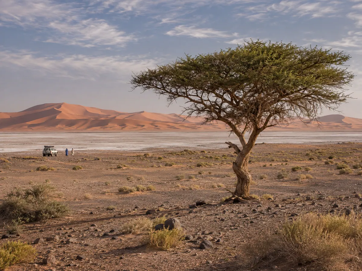
The lakebed. At the heart of the park lies the playa of Lake Iriqui: an enormous, flat basin of clay and silt, cracked into polygons in some places, crusted white with salt in others. On hot days, mirages shimmer across it. After rain it can become shallow water or deep mud, and it is never quite the same from one season to the next.
Salt flats. Around low points in the basin, evaporation leaves pale crusts of salt. They look solid but can hide soft ground underneath, which is one of the reasons driving here takes experience.
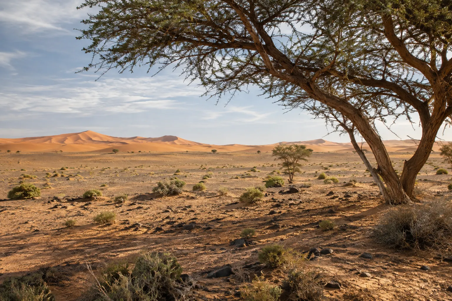
Arid savanna and stony plains. Away from the lakebed, the ground turns to gravel and stone with patches of sparse vegetation, the open, steppe-like country that the park’s description calls arid savanna. It is subtle country: the colours shift from ochre to grey to almost pink as the light changes.
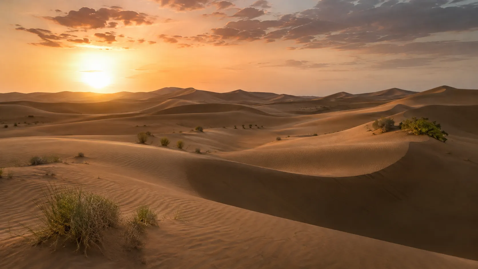
Dunes. Sand gathers into dunes in parts of the park, and to the east the sand builds toward the great dune field of Erg Chigaga.
The Bani on the horizon. To the north, the long, dark ridge of the Jbel Bani frames the view and helps you keep your bearings in a landscape with very few landmarks.
A wetland that comes and goes
Lake Iriqui is an ephemeral lake. For most of recent decades it has been a dry basin. In early September 2024, heavy rain sent floodwater into it, and NASA satellite imagery from 10 September 2024 shows water there. Press reports at the time described it as the first water in the basin in several decades, though the figures they quoted varied.
Water in a desert basin does not stay fixed. It spreads, evaporates and soaks in, and the lakebed you find depends on the rain in the months before your visit. Ask your guide or us for a recent report before you go, and read our Lake Iriqui guide for the longer story of the lake.
Wildlife: keep expectations open
The park was created to protect arid ecosystems and the temporary wetland of the lake, and desert wildlife is part of that. But this is not a place where sightings can be promised. Animals in arid country tend to be shy, widely scattered and most active at dawn and dusk, and birds depend heavily on whether there is water around.
The most rewarding approach is simple. Keep your expectations open, ask your guide to stop when something moves, switch the engine off, and watch from a distance. If you see nothing, the landscape is still the main event.
What a visit with a guide looks like
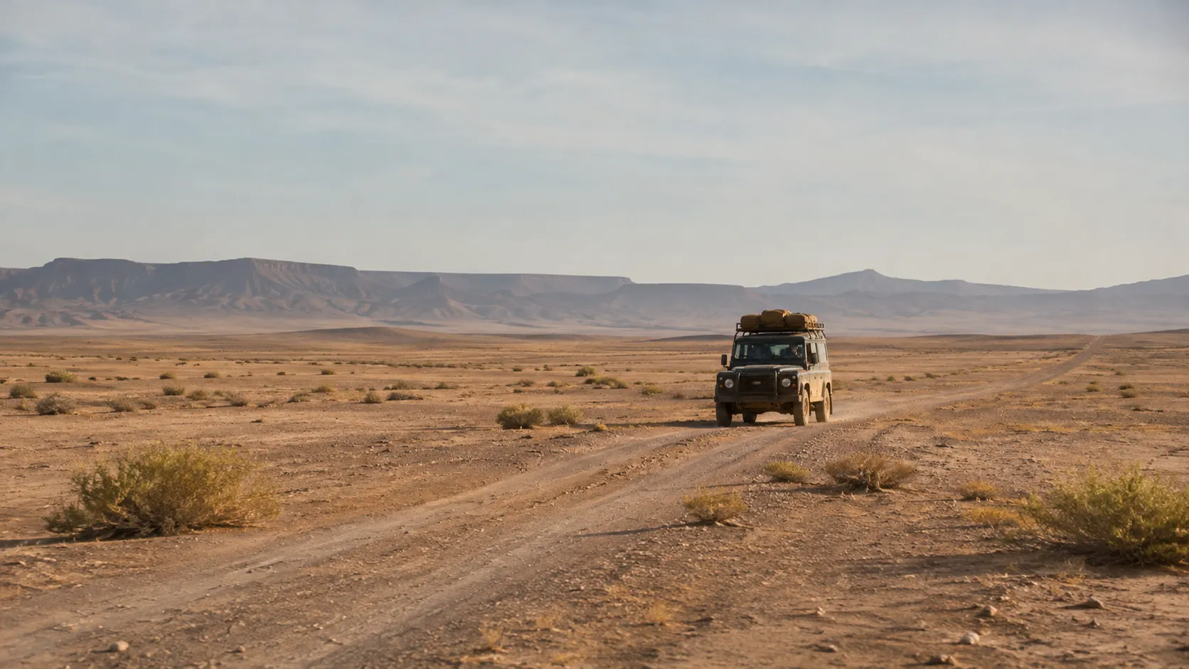
The lakebed and the open country around it are crossed on desert pistes rather than tarmac. In practice, most visitors come by 4x4 with a driver-guide, and that is how our tours run, starting from Foum Zguid, where our family business is based.
A typical day has a simple rhythm:
- Morning. Leave town early, while the air is still cool and the light is soft. The tarmac gives way to piste, and the country opens out.
- Through the day. Stops on the lakebed and at its edges: time to walk on the playa, look at the cracked clay and the salt, and take in the scale of the basin. Your guide picks the line according to the state of the tracks.
- Midday. A long pause in whatever shade can be found, because the sun is the main hazard here.
- Late afternoon. The best light of the day. On a day trip you head back later in the day; on a longer trip you continue toward the dunes of Erg Chegaga for a bivouac night.
You can visit the park on the Lake Iriki 4x4 day trip or cross it on the two-day tour from Foum Zguid to Erg Chegaga, whose route crosses the Iriki basin. Timings, stops and what is included are confirmed in your written quote.
Do not expect the visitor infrastructure of some national parks elsewhere in the world. There are no services on the tracks, and mobile coverage cannot be relied on. Ask your guide whether any entry formality applies at the time of your visit.
Visiting responsibly
A protected desert is fragile in ways that are not obvious at first glance. These habits matter:
- Stay on existing tracks. Desert crust and lakebed clay keep tyre marks for a long time. Driving off-track spreads the damage; following the tracks already there contains it.
- Leave rocks, fossils and plants where they are. Collecting in a national park is not a harmless souvenir. Take photographs instead.
- Take all rubbish away. Food waste, tissues, bottle caps, cigarette ends: everything leaves with you. Nothing decomposes quickly in a dry climate.
- Do not disturb wildlife. Keep your distance, keep your voice down, never chase or feed animals, and do not use drones to approach them.
- Be careful with water and fire. Water is precious here, and dry vegetation burns easily.
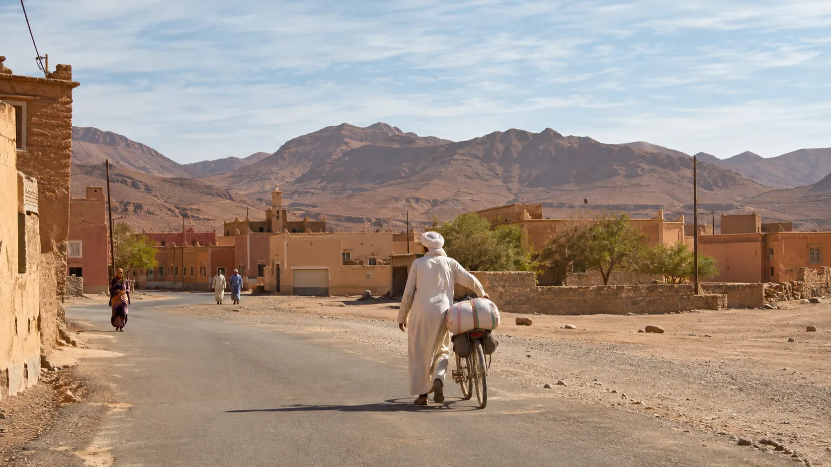
- Respect the people who live in the region. Greet first, ask before taking photographs, and dress with some modesty when passing through villages.
Planning your visit
The cooler months, from autumn through spring, are generally the most comfortable for a day in the park; summer heat is intense and can be dangerous in the middle of the day. After rain, soft ground and floodwater in dry riverbeds can close or change tracks, so keep a little flexibility in your plans.
For maps and access options, see our map and access guide. To combine the park with a night in the dunes, read about our desert camp and bivouac nights. And when you are ready, tell us your dates and group size on the plan my trip page.
Questions travellers ask
Is it Iriqui or Iriki National Park?
Same park, different spellings. The protected area is usually written Iriqui National Park in English and Parc national d'Iriqui in French, while the lake at its heart is often written Lac Iriki or lac d'Iriki. You may also see Iriki National Park. All of these point to the same place in the desert between Foum Zguid and M'Hamid.
When was Iriqui National Park created, and how big is it?
The park was created in 1994. Published sources give its area as about 123,000 hectares, which is roughly 1,230 square kilometres. Treat the area as an approximate figure.
What will I see in the park?
Mostly wide open desert: stony plains, sandy areas and dunes, salt flats, patches of sparse vegetation and the great flat basin of Lake Iriqui. Whether the lakebed holds water depends on recent rain; it took in floodwater in September 2024 after years of being dry, so ask for a recent report before you go.
Will I see wildlife?
Possibly, but sightings are never guaranteed. Desert animals and birds tend to be shy, scarce and most active at the cooler ends of the day. The best approach is to keep your expectations open, stay quiet when your guide stops, and watch from a distance if you do see something.
Do I need a guide or a permit to visit?
We strongly recommend a driver-guide who knows the pistes, because the park is crossed on unpaved tracks with no services and unreliable mobile coverage. Ask your guide whether any entry formality applies at the time of your visit; they will confirm it when you plan.
Can I take a stone or a fossil as a souvenir?
Please don't. This is a protected area, and removing rocks, fossils, plants or anything else you find takes something away for good. Take photographs, and leave the ground as you found it.
Sources
Facts on this page were checked against the sources below. Conditions in the desert change — ask us for a current report before you travel.
- Iriqui National Park — Wikipedia, consulted 11 November 2026
- Iriqui National Park — Lonely Planet, consulted 11 November 2026
- A Deluge for the Sahara — NASA Earth Observatory, consulted 11 November 2026
- In half a century: rare Saharan floods fill dry lake beds in Morocco — Morocco World News, consulted 11 November 2026
First published ·Last updated